White Mountain Peak
- Ttirrem
- Aug 9, 2020
- 8 min read
Updated: Nov 30, 2020

From Wikipedia: "White Mountain Peak (or simply White Mountain), at 14,252-foot (4344.0 m), is the highest peak in the White Mountains of California, the highest peak in Mono County, and the third highest peak in the state after Mount Whitney and Mount Williamson.
It is the fourteenth most topographically prominent peak in the contiguous United States. White Mountain Peak is one of only two fourteeners (peaks above 14,000 feet) in California that are not in the Sierra Nevada, the other being Mount Shasta at the far northern end of the state in the Cascade Range. It is the only fourteener in the contiguous United States that is not in the Rocky Mountains, the Cascade Range, or the Sierra Nevada"
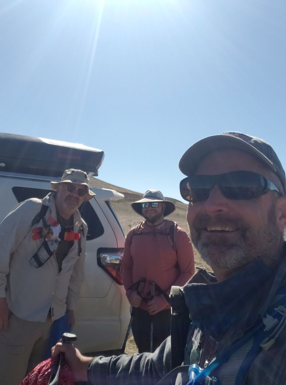
We departed Reno, Nevada at 7am on Friday, July 24th. Our destination was the trailhead for White Mountain Peak, in the Inyo National Forest. The trip was 250 miles, and was to take around 5 hours to accomplish. In this COVID year of 2020, the three of us wore masks the entire duration of the trip, which really was not much of an inconvenience. Many people complain about discomfort, difficulty in breathing, and a plethora of other ails, but I honestly believe that an individual's outlook regarding societal safety determines their comfort level in wearing face coverings.We made a couple stops en route to pick up some supplies – food for breakfast and dinner at our base camp, and some snacks. Passing Bishop, we continued south on highway 395 until we reached the turnoff of Highway 168, just prior to reaching Big Pine. We traveled northeast into the White Mountains, increasing in elevation as we meandered up the winding highway. As we rounded one of the multitude of curves, we found traffic stopped, with a flagger and a temporary sign proclaiming that there was an accident ahead. We came to a stop behind a Semi and several other vehicles, turned off the engine, and waited. One of our fellow motorists reported to us that a Semi had overturned the previous day, spilling it's load of potatoes, and they were removing it on this day. With no other pressing engagements, I decided to meander up around the corner to observe the situation. The trailer was on it's side, off the roadway. A tow truck was positioned at the ready, and a crane was prepared to hoist the trailer upright. A man was cutting the roof of the trailer away with a saw. After watching the events for several minutes I made my way back to our vehicle. Not long afterwards, we were able to continue our journey up into the mountains.

Around 13 miles up Highway 168, we turned left onto White Mountain Road, which continues upwards into the White Mountains a further 26 miles. We continued to pass elevation markers as we went - 8000 feet, 9000 feet, 10,000 feet. As we continued, groves of Bristlecone Pine trees began to pass by the windows of the Toyota. We passed Schulman Grove, which is the location of a visitor center and interpretive trails through the ancient trees, at which point the road turned to gravel. We continued further, as I craned my neck from side to side, taking in the views of the mountains, ridge-lines, valleys, and hillsides covered with wizened, gnarled trees that had stood there since the last Woolly Mammoths walked the earth. Amazing.

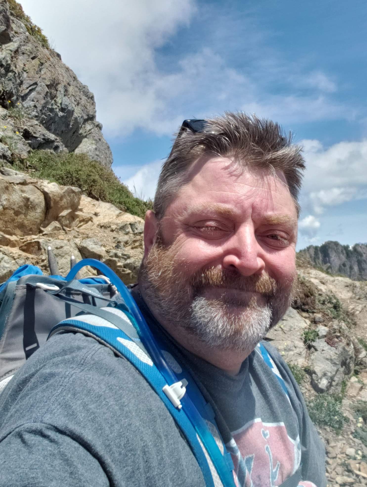
We finally came to road's end - a gate across the road, next to a wood sign that announced "University of California Barcroft Facility & Pace Lab. 2 mi." Next to the sign and the gate was a pit toilet. There were approximately 20 vehicles parked in the vicinity, with tents being erected and taken down as the various hikers arrived and departed. We scouted the area and identified a site that looked promising for our campsite. As I hauled my gear down to the campsite from the Toyota, I very quickly became short of breath, reminding me that we were at 11,680 feet, and I am a man who lives at 30 feet. The prudence of arriving the day prior to our hike, in order to acclimate to the elevation, was immediately apparent.

The evening's meal consisted of ground beef, cooked to the size and tenderness of a hockey puck and served on a multipurpose English Muffin bun, dripping with ketchup and mustard. We consume these on every epic hike, and to be honest I enjoy the tradition a great deal. As we ate, we were watched over by a legion of Marmots, who had tunnels throughout the area and stood guard, eyeing both us, and the sky, for potential danger. As the evening progressed and the sun moved lower and lower on the horizon, the temperature began to quickly drop. When we had arrived, I would estimate the temperature was in the mid 50's. A chill quickly set in. We each retreated to our respective tents and attempted to settle in for the evening. At this point I realized that I had neglected to bring any reading material for entertainment. I was forced to read the ingredient list of several freeze-dried meal pouches, which, to their credit, put me to sleep fairly quickly. The night was less than restful, as I had not taken one factor into consideration - as elevation increases, temperature decreases. During my planning, I had checked temperatures at the closest town - Bishop - which stated that the temperature would be in the upper 90's. I packed accordingly. As the night progressed, the temperature dropped to approximately freezing, with frost on the tent, and my shivering preventing the same from forming on my sleeping bag. I had every article of clothing on that I had brought, which took the edge off, but it was still a fairly restless night.

I awoke before 5am, as first light began to make itself shown and the desire for a hot cup of coffee took hold. While I am a morning person, my two companions were not, so I fortified myself with several batches of coffee while trying to regain feeling in my fingers, while watching groups of excited hikers heading past the locked gate and towards our mutual eventual destination. When David and Eric awoke, breakfast was consumed, consisting of eggs and the ubiquitous English Muffins.

Our gear gathered, our supplies safely stored in a Marmot-proof vehicle, and our tents secured, we walked around the locked gate, and began our two mile section of trail to Barcroft Station. Our original plan for this hike was to do it the following day, July 26th, which was to be "Open Gate Day" - the one and only day per year that the gate is unlocked and opened, and hikers can drive 2 miles up to Barcroft Station and continue onward from there. This reduces the length of the hike by 4 miles round trip - a substantial distance. Four days before Open Gate Day, an announcement was made that due to COVID-19, Open Gate Day was canceled.
The unplanned initial two miles was an uphill grade, but not excessive. Arriving the previous day to acclimate made a substantial difference, physically, and exertion was much easier than setting up camp had been.
Barcroft station came into view after cresting a hill and rounding a corner. Distance was difficult to gauge, with no trees of other landmarks to help determine scale, so it was still a bit of a trudge up the gradual slope to get to the station. As we neared the station, we could discern different parts of the station that assisted in operations - there was a small pond with PVC piping that, no doubt, supplied water to the researchers. The main building, similar in shape to a Quonset hut, was covered in solar panels. The flooring at one of the entrances was composed of Marsten mat. To the right of the station was a large livestock enclosure. The entire station was slightly reminiscent of the Antarctic station in "The Thing" The research station was closed, with windows boarded up and buildings secured. This was presumably due to the current COVID-19 pandemic, and most certainly the reason that the Open Gate day was canceled - no researchers and therefore no reason to open the gate.


We took a short break at the station before continuing up the trail, which curved upwards and to the left of Barcroft Station. The elevation gain was a bit more pronounced at this point of the trail, and our pacing slackened slightly. We observed a small, domed building in the distance. As we neared the solitary building, it became apparent that it was a small astronomical telescope. It, as well, was shut tight and vacant. As we topped the ridge that the observatory rested on, White Mountain Peak came into view, dominating the horizon. The trail headed towards the mountain, across an expansive, flat plain, until climbing a foothill and curving to the right. Several large talus deposits lined the plain, on either side of the trail.


We continued onward, at a decent pace, across the plain. Marmots popped up from time to time, curious about the three intruders to their territory. As we neared the edge of the plain, and the trail began to climb the foothill, a sign became visible off the trail, with White Mountain Peak behind it. As we got closer, we realized that it was the border marker for the White Mountain Wilderness. We took several photographs and had another short rest period before continuing onward.
There were several false summits to the foothill, and each time we reached what we thought was the final one, a new one would appear behind it. Eventually we reached the top, and another plain came into view, very rocky and devoid of trees or any other distinguishing features. As we surveyed the area, we noticed an animal in the rock field, and then another. And yet another. We had come across a herd of Bighorn Sheep, consisting of approximately 20 animals. Several other hikers were stopped near the sheep. The herd of sheep watched the people, and the herd of people watched the sheep.


We continued onward, and the trail rounded a curve and began to descend into a bowl shaped depression, before climbing again at the base of White Mountain Peak. This downward section of very rocky trail, at around 13,000 feet, was surprisingly difficult, considering that we had already hiked six miles at high elevation. We reached the bottom of the depression, and stopped for a few minutes to rest near a solo female hiker, also trying to recover some energy. She asked how much further the summit was, and my GPS showed that we were slightly more than a mile from the summit, with a little over 1000 feet of vertical gain ahead of us. I peeled off my boots and socks to attend to several blisters beginning to form on my toes. David continued up the trail at a steady pace. Eric informed me that he did not think it would be safe if he continued up the final, challenging section of trail, particularly with the return climb out of the depression we had rested in and a further 6 miles back to base camp. With safety and wise decisions being far more important than risking injury, I agreed completely. With a slight sense of guilt, I left Eric behind and continued up the flanks of White Mountain Peak. The trail became an extremely rocky series of switchbacks, zigzagging upwards towards several antennas, barely visible protruding from a rock building at the summit.

The final jaunt up to the summit became physically tiring, with lungs unused to the high elevation, leg muscles aching from the overall 3000 foot climb, and the blisters continuing to grow on my toes. This was offset by the appearance of an American Flag and Summit Hut coming into view as we rounded a corner and found ourselves on a small, rocky flat surface - the summit. 14, 252 feet above sea level.


Summit Hut was built in 1955, and is a two room stone building that has laboratory space and living quarters for up to four researchers to study astronomy, cosmic radiation, and high altitude physiology. Similarly to Barcroft Station, it was boarded up and inoperative. An American Flag fluttered in the breeze, near a box containing a summit register and knick-knacks that hikers bring and take. Near the hut, two stone windbreaks stood, ready to protect hikers desiring to pitch tents and overnight on the summit. Views from the peak stretched for dozens of miles in all directions. Mono Lake was visible, parts of Death Valley, and Nevada was just across the valley. We took in the view for several minutes, took a few photographs, and began the more than 7 mile return trip to base camp.


Comments