2020 #24 - Suiattle River Trail (#784)
- Ttirrem
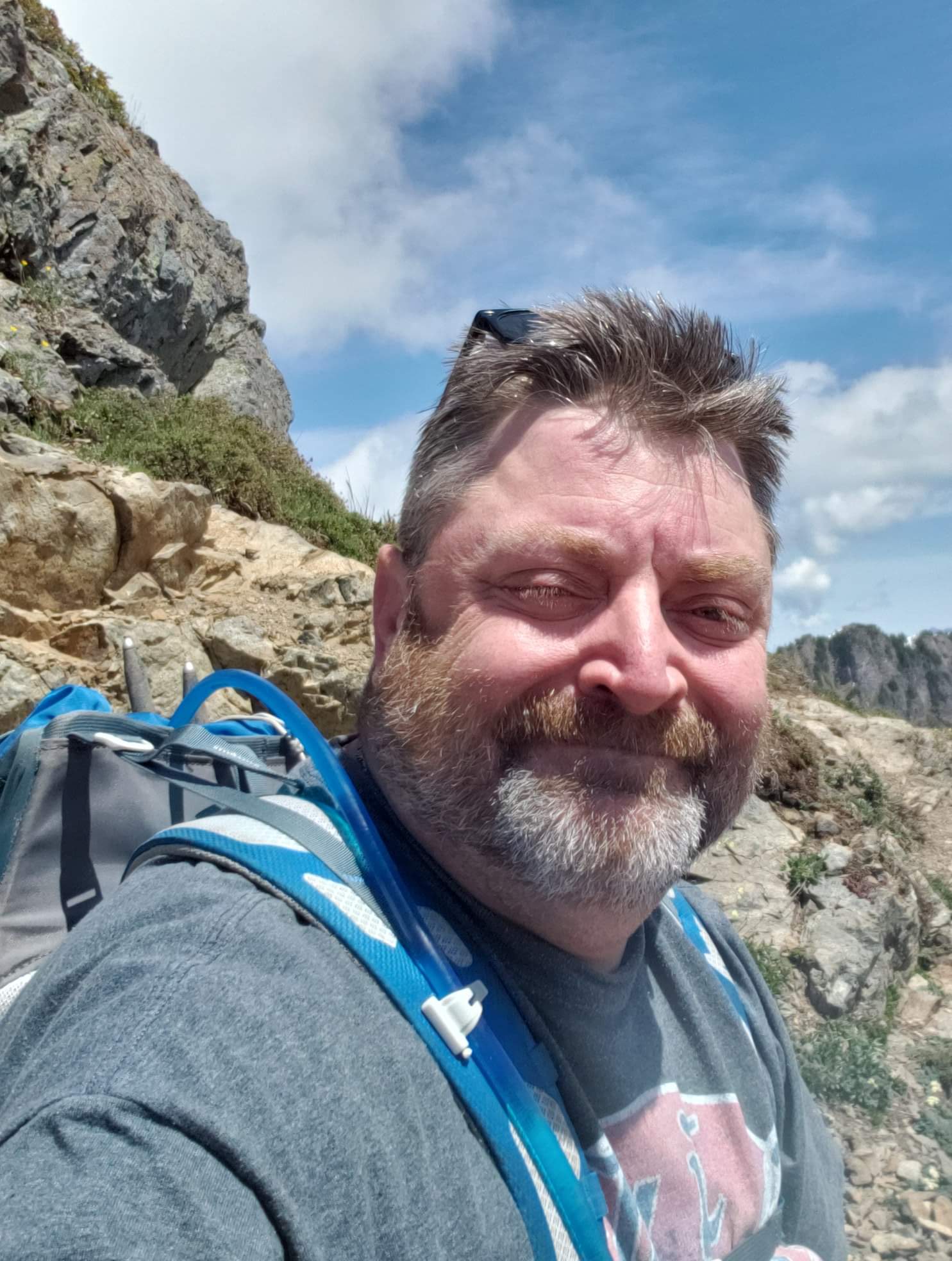
- Jun 4, 2020
- 3 min read


Video of this trip can be watched at https://youtu.be/j8SmIDbqRZY
This trail is a second western access point to the Glacier Peak area, and as such, was the subject of a second "scouting hike" on June 2, 2020. This trail will be an excellent access point to a great many future hikes near Glacier Peak.
I left Bellingham at 4:30am for the three hour drive to the trailhead. My route followed Highway 20 to Rockport, then Highway 530 to the Suiattle River Road. Immediately upon turning onto Suiattle River Road I saw a newer Mercedes Benz on the side of the road, on blocks, with the wheels and tires removed. This gave me momentary concern, but the trailhead was a further 23 miles up the road, so I continued onward.

The initial 13 miles of road was paved and in good condition. Near the Buck Creek Campground, the road becomes gravel and is pocked with potholes, which were moderately deep and unavoidable. Simply driving slowly was sufficient to avoid bottoming out, but it required an hour of time to reach the trailhead.

The entire length of the road was lined with Thimbleberry canes, which were flowering and will be loaded with berries this summer. Salmonberries were ripe and interspaced among the Thimbleberries.
The trailhead was immediately past Sulphur Creek Campground. The parking area was very large, with designated parking for vehicles bringing stock animals. A pit toilet and trail kiosk were situated immediately next to the Suiattle River.

Within yards of the start of the trail, a sign denoted the border of the Glacier Peak Wilderness. The trail at the initial mile was level and well graded. There were occasional trees fallen across the trail, but they were well above average adult height, so one simply walked under them.
There were many water crossings along the trail. Most could simply be hopped over, or navigated by use of strategic stepping stones. Two crossings, however, were larger. The first of these had a log bridge in place for crossing, but the larger one required either wet feet, or the removal of boots and socks and wading across, which was my choice.


The Suiattle River is more seen than heard, for the most part. Occasional glimpses of the river were had, but the sound was the primary reminder of it's proximity.
Wildflowers were beginning to bloom along the trail, and there were also many species of fungi along the length of the trail, including Indian Pipe, Calypso Bulbosa, King Bolete, Yellow Coral Fungus, American Yellow Fly Agaric, Gyromitra esculenta, and many others that I could not identify immediately.

I passed a commuter campsite at 3 miles, and then another at 4.17 miles, but there appeared to be no water access. The water crossing previously mentioned was located at 4.47 miles.


Canyon Creek Campground came into view at 6.5 miles. This campsite was quite large and well wooded, with no undergrowth - just forest floor with many areas suitable for setting up camp. There were several fire rings established, with planks surrounding them for seating. There was an established toilet available several yards away, if potential privacy is not a concern. The campground had several tiers, leading down to shoreline access of Canyon Creek.

At the riverbank, a first view of Canyon Creek bridge came into view. The wood suspension bridge was supported by steel cables, and spanned the raging Canyon Creek. Across the bridge, several additional campsites were seen.

Crossing the bridge, and continuing onward, I reached my goal for the day's hike - the junction of the Pacific Crest Trail. The northern route continues towards the Lake Chelan National Recreation Area and ultimately Manning Park in British Columbia. The southern route leads towards Glacier Peak and all points south.


I continued south on the PCT for several minutes, until I reached a bridge crossing the Suiattle River. I crossed the long, curved bridge, and then found a trail leading underneath the bridge and to a small campsite. This became my lunch spot and turnaround point for the day's hike, roughly 7.25 miles in from the trailhead.


I continued south on the PCT for several minutes, until I reached a bridge crossing the Suiattle River. I crossed the long, curved bridge, and then found a trail leading underneath the bridge and to a small campsite. This became my lunch spot and turnaround point for the day's hike, roughly 7.25 miles in from the trailhead.


At this point in my planning phase for further adventures, I will use this bridge campsite as the goal for day one in overnight trips.


Comments