2020 #25 - Miners Ridge Trail #785
- Ttirrem
- Jun 27, 2020
- 7 min read
Updated: Jul 4, 2020

Background: Miner's Ridge is the location of a historic fire lookout tower. The first lookout built at this site was a 10'x 10' shake cabin,in 1926. The cabin was replaced in 1938 by a 20 foot tall timber tower with an L-4 cab. That tower was replaced in 1953 by another 20' tall treated timber tower, also with an L-4 cab, which is the current structure at the site.
Plan: The goal for this hike will be a three day (2 night) backpacking trip along the Suiattle River Trail to the Miner's Ridge Trail (#785). This will be my first overnight trip of 2020, as well as the longest hike that I have ever done, at roughly 31 miles round-trip. The initial 9 miles or so of this hike is flat and level, from the Suiattle River Trailhead,past the northbound junction of the Pacific Crest Trail, until the junction of Miner's Ridge Trail. From this junction, to the lookout, there are approximately 30 switchbacks climbing about 4000 feet of elevation. I have several tentative overnight spots planned out, depending on my level of fatigue carrying my pack. My "worst case" overnight spot will be Canyon Creek, which I scouted out on June 2nd. My "probable" overnight spot will be an unnamed spot at the junction of Miner's Ridge Trail and the PCT, about 3 miles past Canyon Creek.
I am planning on leaving Bellingham Monday morning, June 22, 2020, and returning Wednesday afternoon, June 24th.

Day One - Monday, June 22.
I left Bellingham shortly after 5am, stopping at McDonald's for some guilty pleasure Egg McMuffins and coffee for the 3 hour drive to the trailhead.
Highway 20 was closed and detoured at Rockport, due to a landslide that occurred the previous week. luckily this was the exact point I needed to turn.
The Mercedes that was on blocks with no wheels June 2nd at the junction of Suiattle River Road had been removed. The road had not magically smoothed out since I was here three weeks ago, and sadly, the miles upon miles of Thimbleberries were still at the flowering stage.

There were 2 vehicles in the Parking Lot, which actually surprised me, being about 8am on a Monday.

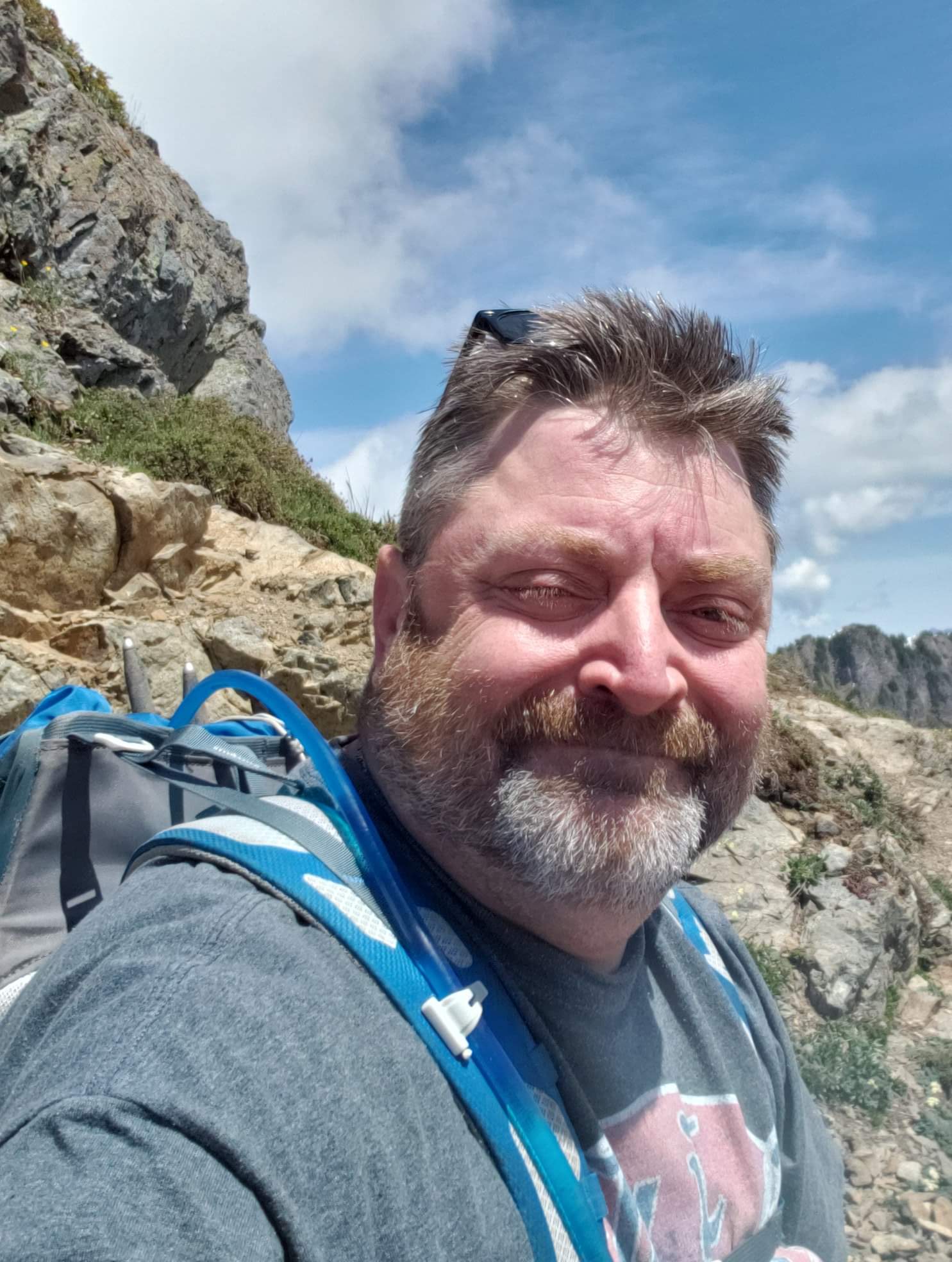
My pack, which was an ultralight 45 pounds, was slightly awkward to walk with at first, this being my first backpacking trip of the year, but I became accustomed to it quickly. I reminded myself that with the pack fully loaded, I was carrying the same amount of weight that I carried in February, sans pack. it helped, mentally.
The initial section of the Suiattle River Trail had not really grown as much as I thought it would in the last three weeks. The ferns were a bit fuller, and different wildflowers had come into bloom, but that is all that I noticed. The Yellow Fly Agaric had mostly fruited and gone, but I still observed many patches of Ghost Pipe, and some species I had never seen before.

I took a lot less video and pictures on the way out, as I had extensively documented the trail on the last trip. This resulted in the miles zooming by, relatively speaking. I reached Canyon Creek in about 2.5 hours.
The pack was causing a little bit of shoulder discomfort, and I gave fleeting thought to making Canyon Creek my overnight spot - it is well established, had wonderful river and bridge views, and I was starting to feel the exertion. I reminded myself that this would leave a lot of ground to cover tomorrow, including 4000 foot of elevation gain, so I decided to continue further, to my original goal.
I rested at Canyon Creek for about 45 minutes before continuing. As I approached the bridge, two backpackers came into sight. I stepped aside to let them pass, and asked them where they had come from. They told me Miner's Ridge, and let me know that snow levels and quantities were not prohibitive, and that the lookout would be no issue reaching. I thanked them for the wonderful news, and we all went our separate ways.
I reached the junction of the PCT and continued on, northbound. The ensuing 3 miles were fairly uneventful. There were several little rivulets crossing the trail, but none requiring taking boots off for.
I reached what I believed was the "unnamed camp spot" before the Image Lake junction. it was flat, but had no fire ring and was not "exciting", if that makes sense. I dropped my pack and decided to run up the trail to the junction, to scout out water sources and see how far it was.
About a 10 minute walk away, I found the "real" campsite that I had been expecting - A large area with a fire ring and room for several tents. I walked back to the faux campsite, collected my gear, and slogged back up the trail, ready to be done hauling gear for the day.
I filled my Camelbak at a water crossing and reached camp, at last, at about 2:15pm. Dropping my gear for the final time, I continued on to see how far the junction was. A water source and the Image Lake junction were 1.5 minutes from camp. Perfect!
I set up my camp chair, plopped down in it, and stared off into the woods as rested my legs and gathered up the gumption to set up camp.
It is, as I write this, 3:45pm, and camp is fully set up, firewood has been collected, water is collected for dinner, and I am mulling over plans for tomorrow. I am debating leaving my camp established here tomorrow as base camp, taking minimal gear with me, and making the 12 mile round trip with minimal weight on my back. This would make the 4000 foot elevation gain less painful, as well as speeding up my pace, but I would be unable to overnight at the base of the lookout, which was one of my original plans. I will give it thought overnight and make the most logical decision.
Day Two - June 23.
Unusually, for me, I did not awaken until 6:30am. The campsite was well wooded, and in a steep sided river valley, which made morning light a later occurrence. The previous evening was spent next to a fire, as I read several chapters of a book and enjoyed the solitude.
Breakfast consisted of oatmeal, doctored up with Blueberries and Strawberries that I had dehydrated last month. I walked around the corner to fill up on water, and came face to face with a Mule Deer. We were both equally startled, and we each froze and sized each other up. I took a couple steps backwards, and to my surprise, the deer took a couple steps forward. I walked back to camp and grabbed my phone, hoping to get some pictures of my fearless new acquaintance. I was not disappointed. The deer rounded the corner and examined me carefully. It slowly walked past my camp, and I was amazed at it's lack of fear. It eventually passed by and continued on its way.
I decided that the plan to leave most of my gear at "Base Camp" was a sound decision, so I packed up my gear and stowed it inside my tent, which I buttoned up. My food and personal hygiene items were placed inside my bear vault, which I stashed behind several trees a respectable distance from my tent. I then headed up the trail.
The trail almost immediately begins climbing up a series of switchbacks. There were about twenty the initial 3 miles of trail. I found several trees across the trail, which were not prohibitive, but several required wading through branches before being able to step over the trunk.

There were a couple small water crossings, which I believe will dry up as the summer progresses. Glimpses of Glacier Peak through the trees came and went as I climbed up the trail, which were gorgeous and a foreshadowing of the views to come.

At about three miles, I came to a trail junction. Continuing straight would take a hiker to Suiattle Pass. Going left, my route, takes hikers to Miner's Ridge. The junction also serves as a commuter campsite, if desired. I would estimate that 3 different groups could establish camp at this area, although there is no water.

After a 5 minute break, I continued up the trail to the final 10 (or so) switchbacks. With the views quickly opening up, my enthusiasm grew, and my pace quickened. The environment began to transition from forest to sub-alpine terrain. Blueberry bushes appeared, and Avalanche Lily dotted the hillside. Evidence of recent snowmelt was apparent in the dried rivulets that had matted down the lichen and mosses carpeting the slopes.
At about 5500 feet in elevation I encountered my first sight of snow on the trail - a 10 foot section on the trail, in a shaded area. At 5800 feet a second larger section of snow remained on the trail.

Finally I came to a large mound of snow, and I realized that I had found my destination - the ridge. With about 10 steps up the snow, I found myself standing in the clear, with glorious views of the surrounding mountains. To my right, Miner's Ridge curved towards where I believe Image Lake is. To my left, I saw a narrow ridge, free of trees, and in the distance, my goal - the fire lookout.

I cautiously walked up the ridgeline towards the lookout. There was no real danger, but I am not a fan of heights. A reached the lookout - my first one that is built upon a tower, and I was absolutely awestruck by the views of Dakobed and the Suiattle River valley.


I had seen Glacier Peak once previously, from Green Mountain lookout several years ago, but this was, by far, the closest I had yet been. I spent about an hour just taking in the view and appreciating how blessed I am to live in such a beautiful part of the world.

I examined the lookout tower and made my way up to the deck. The lookout cab remained shuttered and locked, as it remains an active fire lookout. I descended and gathered up my pack, and decided to head towards Miner's Ridge and Image Lake.

Initially the trail was dry and clear, but I then came across several sections of snow across the trail that would have required climbing up and down each section, as the trail rounded a corner. Having already met my goal for this hike, and being quite pleased with the views, I chose to turn back without seeing Image Lake. Perhaps next time.

The hike back down to camp was uneventful, and I found that camp had been undisturbed. I had thought that perhaps the odor of food in my bear vault might have attracted wildlife, but this was not the case. I prepared lunch, kicked off my boots, and spent the remainder of the day reading and relaxing.

Day Three - June 24.
I awoke at about 5am, and almost immediately began to break camp. I was on the trail by 6am, and reached the trailhead shortly before 10am. I logged 32.1 miles in total, which was, by far, my longest single trip to date. Upon reflection, I should have done this trip in 2 days, as I had quite a bit of down time in camp, but I enjoyed the relaxation.


Comments