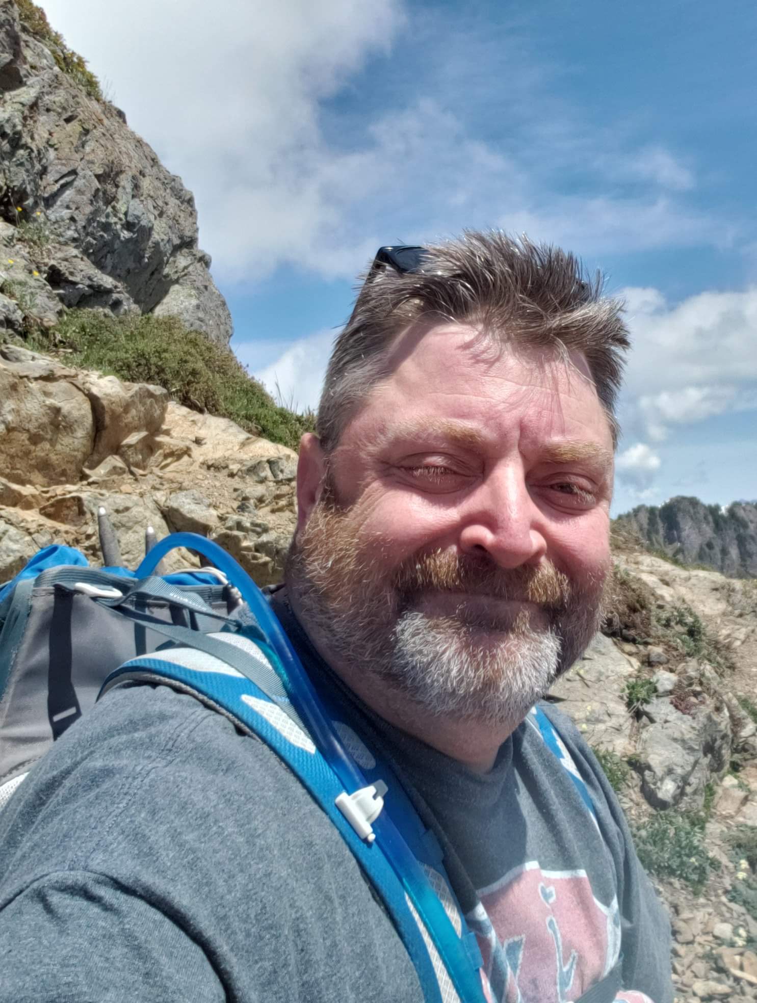
2020 #34 - Upper Lyman Lake via Spider Gap
- Ttirrem
- Aug 20, 2020
- 7 min read
August 16, 2020 (One day prior to the hike)
My general area of focus for 2020 has been the Glacier Peak Wilderness. Glacier Peak, known as Dakobed by the indigenous population, is the most isolated of Washington State's 5 major Stratovolcanoes. The Glacier Peak Wilderness, within the North Cascades, was created by the United States Forest Service in 1960.
The hike planned for Tuesday, August 17th, will be an eastern approach to the area. I have previously accessed the Glacier Peak wilderness via the Suiattle River Road, and the Mountain Loop Highway on the western side.

My goal is to start at Phelps Creek trailhead, hike through Spider Meadows, climb Spider Glacier through Spider Gap, and overnight at Upper Lyman Lake. The weather is foretasted to be sunny and 100 degrees, so I will need to take precautions, particularly as much of the hike is without shade. GAIA is showing that my planned route is 8.5 miles, with 3,494 feet of elevation gain. It appears that most of this will be the slog up Spider Glacier to Spider Gap.
August 17, 2020
I awoke at 3am, just before my alarm was set to go off. Sleep had not come easily, due partially to the excessively warm temperature, and partially due to excitement over the hike. I had packed my gear the evening prior, and had even set the coffee maker to brew automatically , so coffee was almost done brewing when I stumbled to the kitchen to walk the dogs.
After catching up on work emails, and slamming down a cup of coffee, I filled a thermos and a tumbler for the road trip ahead, bade farewell to the spousal unit, microwaved my breakfast, which I had prepared the prior evening, and headed out the door.
The drive from Bellingham to Phelps Creek Trailhead was stated as taking slightly over four hours, via I-5 to Everett, and Highway 2 across Steven's Pass. Traffic, of course, was non-existent, and the biggest obstacle was navigating the road in the dark.
I turned off Highway 2 at the Lake Wenatchee turnoff, prior to reaching Leavenworth. The road continued on, gradually becoming unpaved, and then deteriorating to washboard and potholes. I found, however, that the road in general was in better shape than the FS roads on the West side. I presume that this is due to less rainfall.
I passed a great many established campgrounds, and they all appeared to be in use, which was nice to see. Most all on the West side remain closed this year due to COVID.
The final stretch of road zigzagged up a series of switchback, and the surface was very rutted dust. The parking area was very crowded, even just after 7am. Cars were parked along either side of the road, and one small stretch was a tight fit to creep by. I found a spot very close to the trailhead kiosk, and gathered up my gear after opening my glove box and center console.

The trail began through well wooded forest, lined on with side by ripe Thimbleberries, Huckleberries, and to a lesser degree, Salmonberries. My progress was slow, as I keep stopping to gather handfuls of Huckleberries and gorged myself on them. This terrain remained constant, with only a very imperceptible elevation gain, for the initial 4 miles. There were several small rivulets to cross, and the sound of the water bubbling over the rocks was a joy.
This trail follows Phelps Creek through a valley, bordered by steep mountains lined with permanent snowfields with cascading waterfalls. This was not noticeable or apparent until about 5 miles in, when I suddenly entered a clearing - Spider Meadow.

Although wildflower season has already peaked, the meadow was absolutely gorgeous, with layers of plant life and many late-season flowers. I could see that the valley I had been walking up was actually a box canyon, with trees reappearing at the far end of Spider Meadow. Several streams flowed through the meadow from snow melt on the surrounding cliffs. To my left, some backpackers were relaxing at their campsite. The only real drawback to Spider Meadow as I traveled up slope was the lack of shade. It was a clear, sunny, hot day. This created the incentive of reaching the trees at the far end of the meadow, where I took advantage of another stream to wet down my shirt and hat.
The trail, leaving Spider Meadow, began to climb incessantly. The trees, and their valued shade, became a pleasant memory as the trail climbed up the rocky face of the mountain. I passed a couple established campsites, one of which was occupied, but my overnight goes were far more ambitious.
The trail continued upwards, along a steep drop off into a talus slope if caution was not exercised. This section was graced with a few switchbacks to make climbing less miserable. My pacing was slow and steady, as I kept reminding myself I had until sunset, no need to overdo it.

Reaching a false summit, I found myself looking at several camping spots, overlooking Spider Meadow far below, with a stream flowing past the sites and down a drop off to the valley below. This also would have been an excellent spot to call it a day, but I still intended to reach my goal of Upper Lyman Lakes.

Crossing the stream just past the campsites, a snow covered slope appeared, climbing up to a v shaped cut in the mountainside - Spider Gap. The permanent snowfield is noted as "Spider Glacier" on the map, although it is no longer a glacier. A fellow hiker was just ahead of me, so I followed in his footsteps as we both began the long, slippery exhausting slog up the steep snowfield. I would estimate that the elevation gain up Spider Glacier was about 1000 feet. It was not a joy, as the mid day sun has softened the snow and made navigation quite exerting.

Around an hour after setting foot on Spider Glacier, I finally reached the top - a sharp rocky peak with a surrounding base of talus, stained red with Iron Oxide in the rock. Two hikers were resting at the summit, and directed me onto the trail, which was difficult to find at first, as it was a Rock field.

Upper Lyman Lakes came into view, far below what initially seemed to be a desolate landscape scoured out by a glacier visible to my left. The surrounding mountainside was rust colored and barren of vegetation. Stubborn snowfields remained in sheltered crannies along the nearly vertical slopes. Lyman Glacier, shrinking, holds on impressively above Lyman Lakes- in actuality a series of milky, sediment rich tarns.

The area that I was about to climb down into was a basin, surrounded by crags of rock and mountains carved out by millennia of glacial activity. At the far end of the basin, green hillsides adorned with trees could be seen - no doubt a sediment rich moraine. My map showed me that this area was where the established campsites would be.


Physically, I was beginning to tire, having walked about 8 miles, up several thousand feet of elevation, carrying a full pack of gear. The sun was at it's zenith, and I began to have moments of doubt about my decision to pass by the previous campsites. I took a wrong trail, trying to find my way, and had to backtrack, and then climb down the talus until I reached a snowfield that continued down towards the base of Upper Lyman Lakes.

I inadvertently discovered a shortcut by slipping, falling on my posterior, and doing An impromptu glissade to the base of the snow. I continued slogging onward, towards the basin floor, following cairns and faint signs of trail.


As I continued down into the basin, wildflowers began to appear, and streams became plentiful, nourishing the plant life for their short growing season. I reached the bottom of the basin, at long last, more than ready to shed my pack and set up camp. I continued through meadow, flowers, and huge boulders, taking in the glorious views until I entered a slope with some Latch trees, and, suddenly, campsites. I picked out a spot with some shade and a view of Lyman Glacier before collapsing on the ground and taking a well-earned break before setting up camp. The remainder of the afternoon and evening was spent reading, eating, and trying to escape from clouds of mosquitoes. Two hikers passed by in the late afternoon, but those were the only people that I saw for the remainder of the evening.


August 18, 2020
I awoke about 5:30am, and enjoyed a cup of coffee before having breakfast and preparing to break camp. I repacked all my gear, ensured that I left the site exactly as I found it, and was back on the trail by 630am. The sun was rising in the sky, but with my early start, I was able to enjoy the climb back up Spider Gap in complete shade. I wore traction on my boots, but the snowfields were solid due to the lack of sunlight, and the going was much easier than the previous days' exertion. When I reached the base of Spider Glacier, I encountered a young couple on their way up. I had said greetings to them at nearly the same spot the previous day. I gave them some tips for the remainder of the saunter up to Lyman Lakes, and asked how far they were going. It turned out that their destination was Image Lake - an 18 mile trip. Awesome.
Heading down towards Spider Meadow, I passed by a few hikers at various spots. Virtually all were respectful in wearing masks, as was I, and we all gave each other room to pass each other safely. I am very proud of our hiking community for being selfless and courteous in regards to each others' safety, even as remote the odds are in an outdoor environment.
I made it back to the trailhead shortly after noon, after roughly 5.5 hours of travel. My statistics for this trip were: 11:52 hours moving time, 18.88 miles, with almost 4200 feet of elevation gain. Physically, the only real issue was a couple sore toes and a very slight twinge in my left knee just at the end of the trip. I packed lighter than typical, guessing about 30 pounds.


Comments