Church Mountain Trail #671
- Ttirrem
- Jun 5, 2019
- 4 min read
Updated: Jun 6, 2019
June 4, 2019

Background:
Church Mountain is a 6315 foot mountain summit located north of Mount Baker in Washington State. It received its name because of the resemblance of its summit to the spires of a church.
The Church Mountain Trail climbs through forest to sub-alpine meadows and a former lookout site. Its southern exposure makes it is one of the first trails in the Mt. Baker Scenic Byway area to melt out for a good early-season hike. Begin hiking at an old logging unit, a good place to see lupine and columbine in early summer, then enter mature forest and climb steeply up numerous switchbacks. Look for calypso orchid along the side of the trail. After three miles of hard climbing, enter green meadows and continue up to the old lookout site on a rocky peak, elevation 6,000 ft. Visitors who come soon after the snow melts, usually early July, may see the meadows carpeted with glacier lilies. At the summit enjoy views of Mt. Baker and Canadian Border Peaks, among others. https://www.fs.usda.gov/recarea/mbs/recreation/recarea/?recid=17550&actid=50

In 1928, a fire lookout D-6 cupola cabin was built on the rocky top, which had little room already. Throughout the 1930's, hundreds would visit the lookout each year. The flocks of hikers have never stopped coming....even without the lookout which was destroyed in 1966 or 1967. Sources suggest there was also a trail and telephone line to a patrol point on West Church Mountain at 5,610 feet.

Before 1916, there was no standard pattern for fire lookout structures. The D-6 cupola cabin was the first; a wood frame 12x12' cab with a 1/4-size second story; windows all around. Its design grew out of a sketch drawn inside a tent atop Mount Hood in Oregon, and was given the name "D-6" from USFS District-6. About 100 were built between 1916 and 1929.
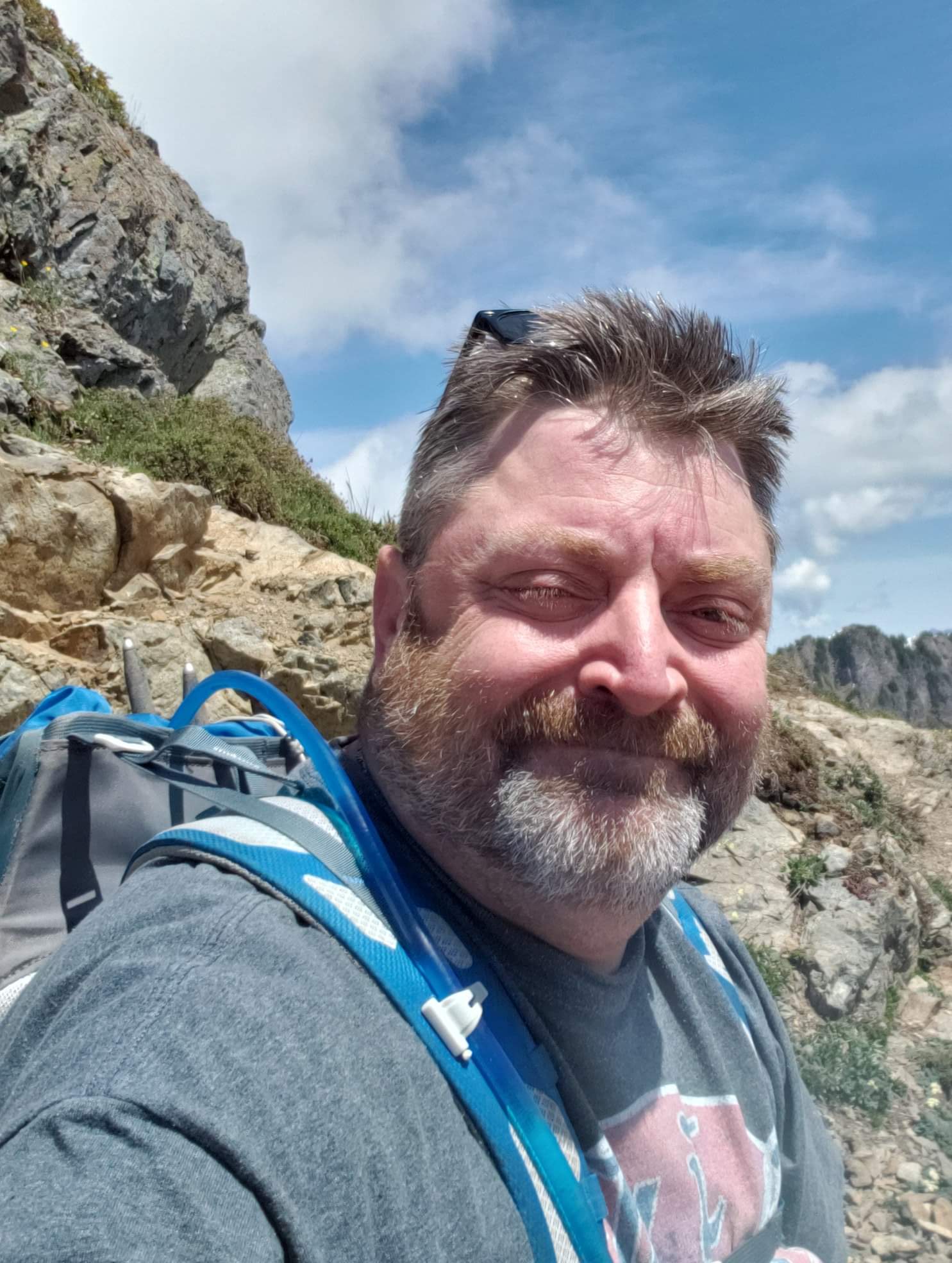
I chose to do this hike on Tuesday, June 4, 2019. Highway 542 was, I was told, undergoing road construction, so I took the Smith Road to 542 and missed it all. Church Road (FS 3040) is slightly more than 2.5 miles in length, and is in better shape than most FS roads, with one exception. I took it slow and made it across with no issues at all. I think that most any vehicle can make it.


I reached an empty trailhead at about 8:45am. There was ample parking, and a pit toilet with garbage receptacles. As I was examining the trailhead kiosk another vehicle arrived.
The initial half mile of trail was a gradual incline up what was once a road. Wildflowers blanketed both side of the trail, and the shade was appreciated as I developed a pacing rhythm. After one half-mile, switchbacks began. There were approximately 14 of them over about 2.5 miles. I encountered several downed trees across the trail. Only one was large enough to create difficulty, as I had to crawl over it.

At about mile 3 the forest gives way to an open meadow. The entire meadow was filled with Yellow Avalanche Lily (Erythronium grandiflorum). Ahead of me, a ridge-line of crags was visible, with a talus slope and melted out avalanche chutes visible. Looking behind me, Mount Shuksan was visible in all her glory. Occasional patches of melting snow began to cover the trail.

As I continued, I passed fields of Blueberry and Huckleberry bushes, beginning to flower and sprout leaves. Mount Baker came into view to my left.
Continuing west along the meadow, I crossed little streams and rivulets from the melting snow, and observed wildflowers sprouting alongside the banks in glorious color. Snow became more and more of a walking surface, with only small sections of trail visible. There was no real issue determining where to go, and the snow was easy to walk on. No traction devices were needed, and no postholing occurred.

The snowfield came to an end, and I began again to climb upwards on the trail on solid ground again. Rounding a corner, I could see some gradual switchbacks heading up towards what I now saw was my destination. This portion of the trail was in full sun, but the day was cool, and there was a slight breeze. It was not unpleasant in the least.
Two ladies at this point began to overtake me. I stopped and allowed them to pass onward and upwards, so that they would be unable to hear me gasping for breath. After all, one can only suck in their stomach and hold their breath for so long.

Views of Shuksan, Mount Baker, and the surrounding mountains and foothills continued to become more and more awe inspiring. Clouds began to roll in and hide the summit of Mount Baker, but this did not diminish the experience in the least.
After rounding another switchback and a corner, I passed by the remains of some corrugated metal and boards. It dawned on me that there must have once been a fire lookout on Church Mountain. (I was previously unaware.) As I was below the summit, my initial assumption was that when the lookout became unstable and decrepit, it must have been dismantled and tossed over the side of the mountain. I later found that these remains were actually once a storage shed for supplies, with the lookout being another 200 feet or so upwards.


At this point of the trail, there was a level spot with some epic views of about 180 degrees. The final climb to the summit was visible to my right. It was obvious that the summit would involve some scrambling up a narrow rock pathway. I debated not making this final push, as I am not a fan of heights when a misstep could result in injury, but I noticed a steel cable alongside the scramble for safety, and slowly went for it.

The benefit to scrambling and climbing up to the summit is that it literally put me face to face with Indian Paintbrush and other wildflowers, along with colorful Lichen and rock formations. I chose not to look elsewhere other than my next handhold.
And then, suddenly, I was there. Church Mountain. Looking down, towards the north, snowfields still covered the side of the mountain. I was able to see a tarn melting out into a beautiful turquoise blue. To my left were the spires of the true summit, 6315 feet in elevation. The site of the former lookout, where I was standing, was at 6100. I spent a few minutes taking in God's creation, before beginning the descent back down to the trailhead.


Very cool, thanks for sharing. I learned the word Tarn today 👍🏼